


Description
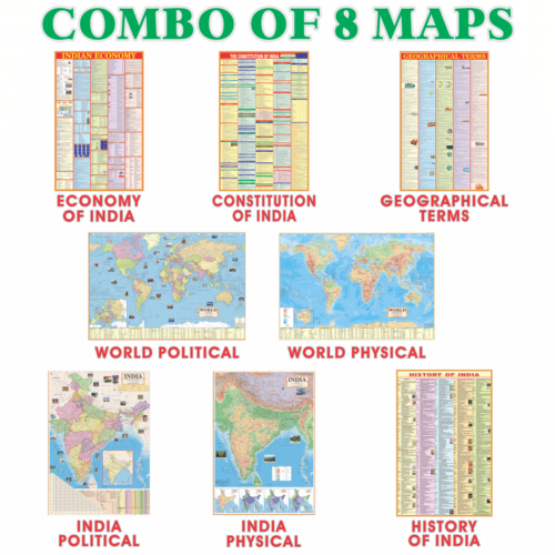
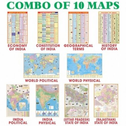
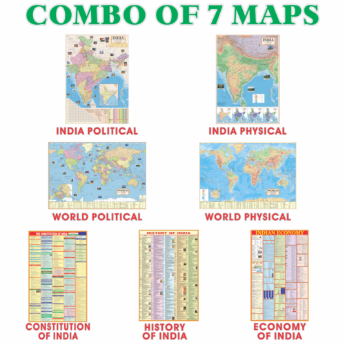
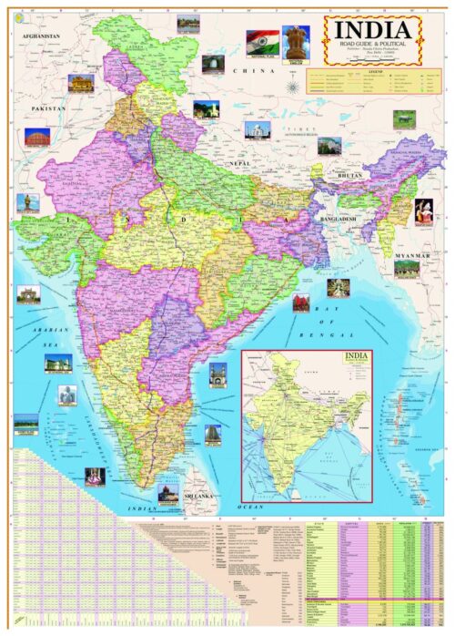
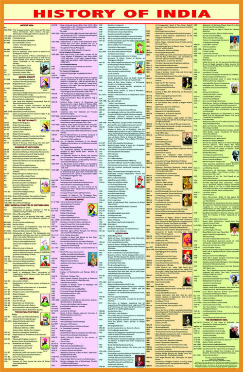
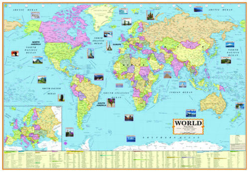
India Political and Physical English Map: Our India Political and Physical English Map is perfect for young learners interested in exploring India’s rich history. This map provides a comprehensive look at the geography and political boundaries of India. The colorful design helps to bring the country to life, while also providing an engaging way to learn more about Indian culture, politics, and its past. The detailed physical features of this map include rivers, lakes, mountains, coastlines, and more. The vibrant colors make it easy to distinguish between different regions, allowing you to view the continent as a whole or zoom in on specific areas. In addition to geographical information, our map also includes labels for major cities, roads and highways as well as country borders so you can easily identify each state or province. With our fascinating India History English Map, children can enhance their knowledge of India’s rich past while also learning important facts in an engaging way!

Reviews
There are no reviews yet.